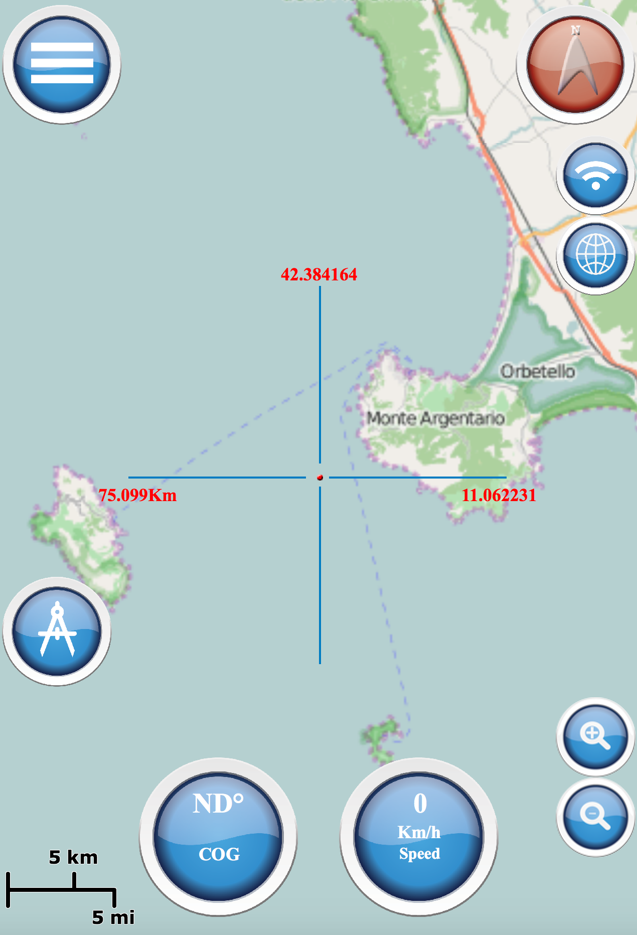
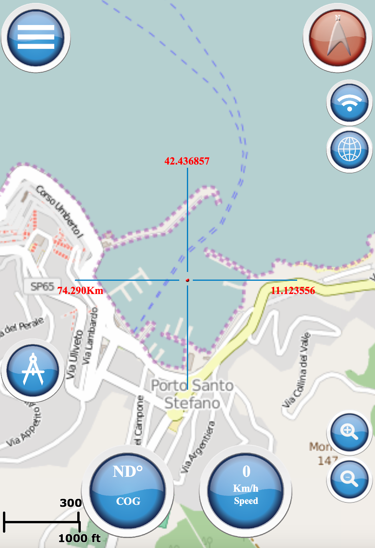
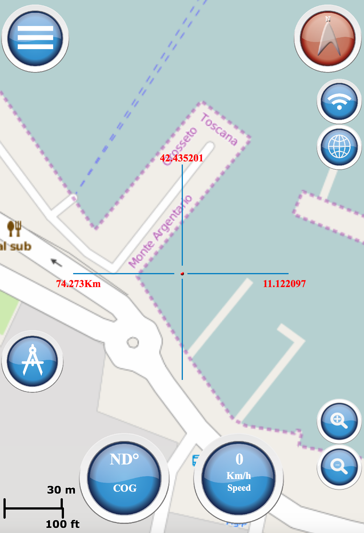
MapsView
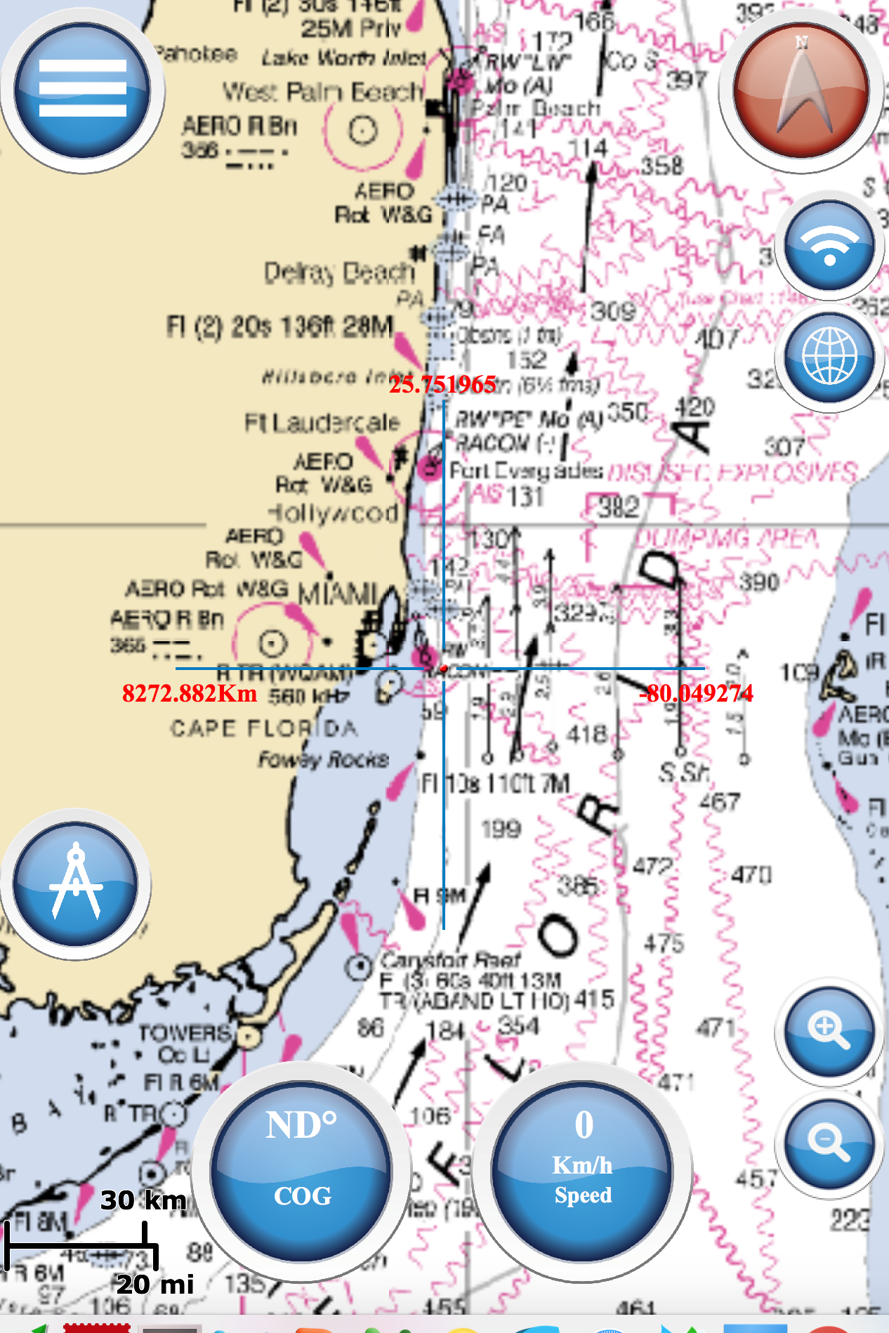
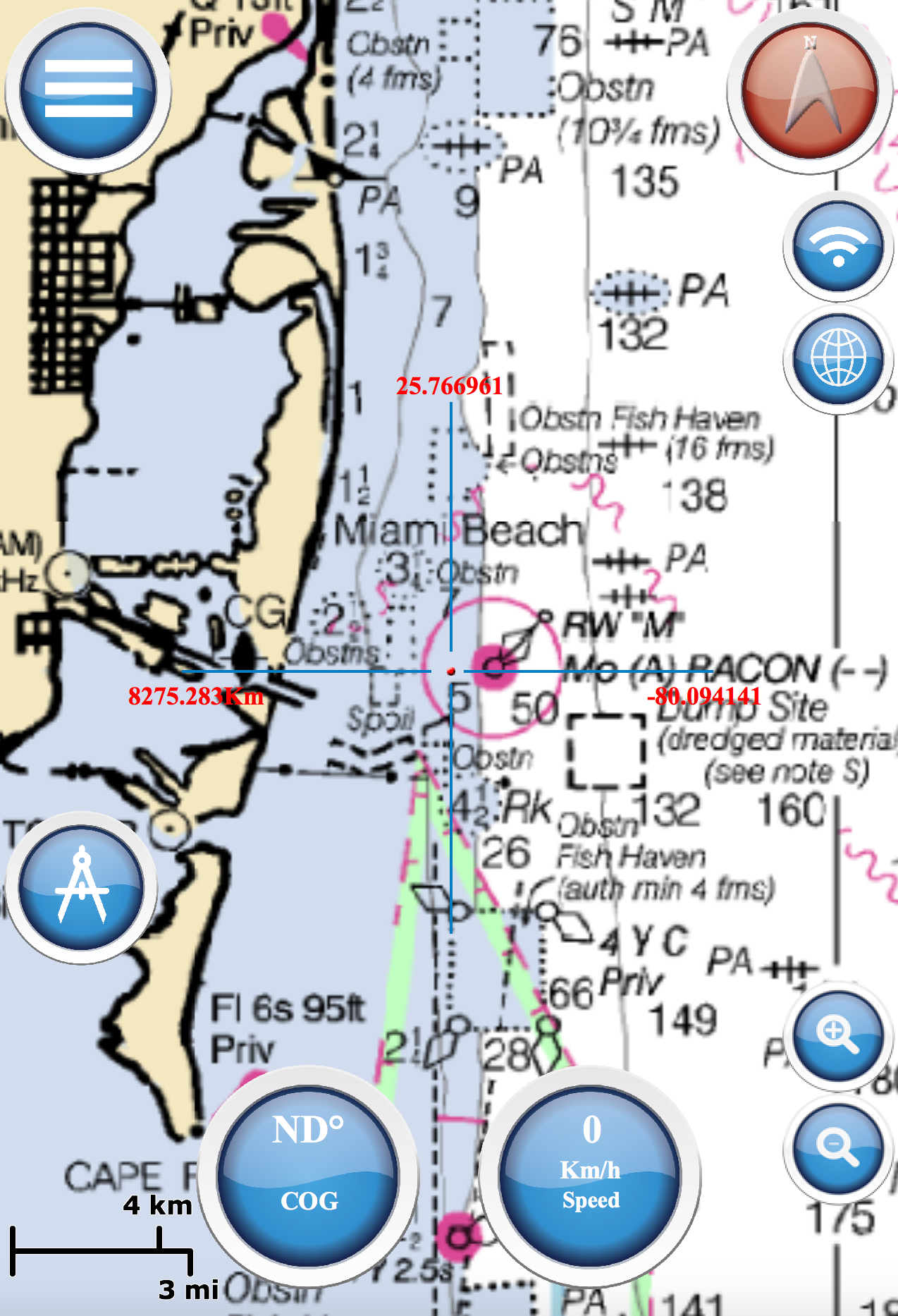
NOAA USA
NOAA raster navigational charts (NOAA RNC®) are full-color digital images of NOAA paper charts. Marine Navigation use NOAA RNC raster United States waters marine charts
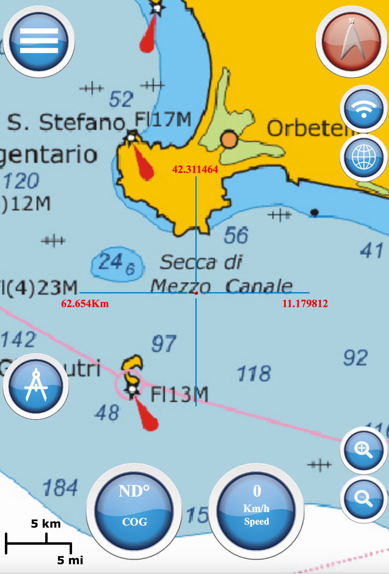
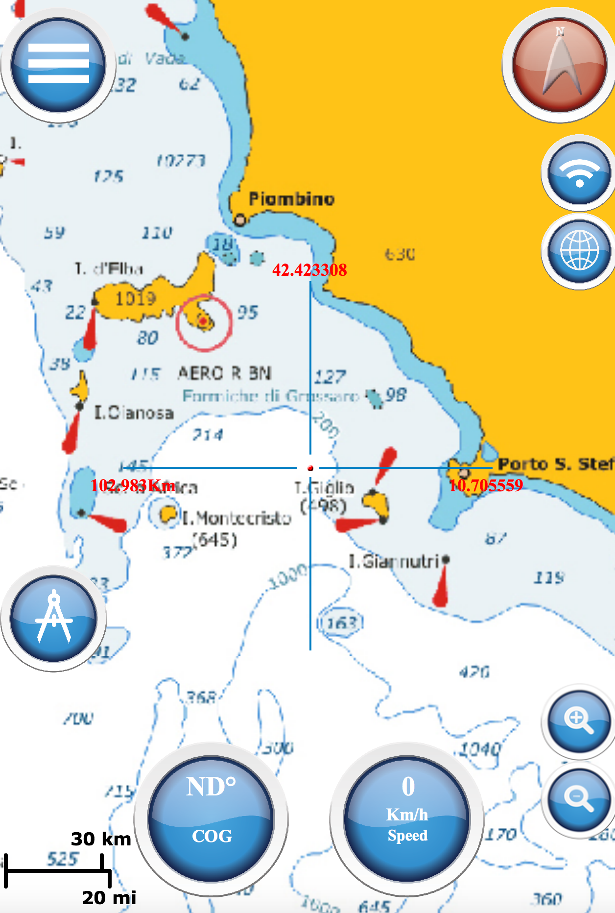
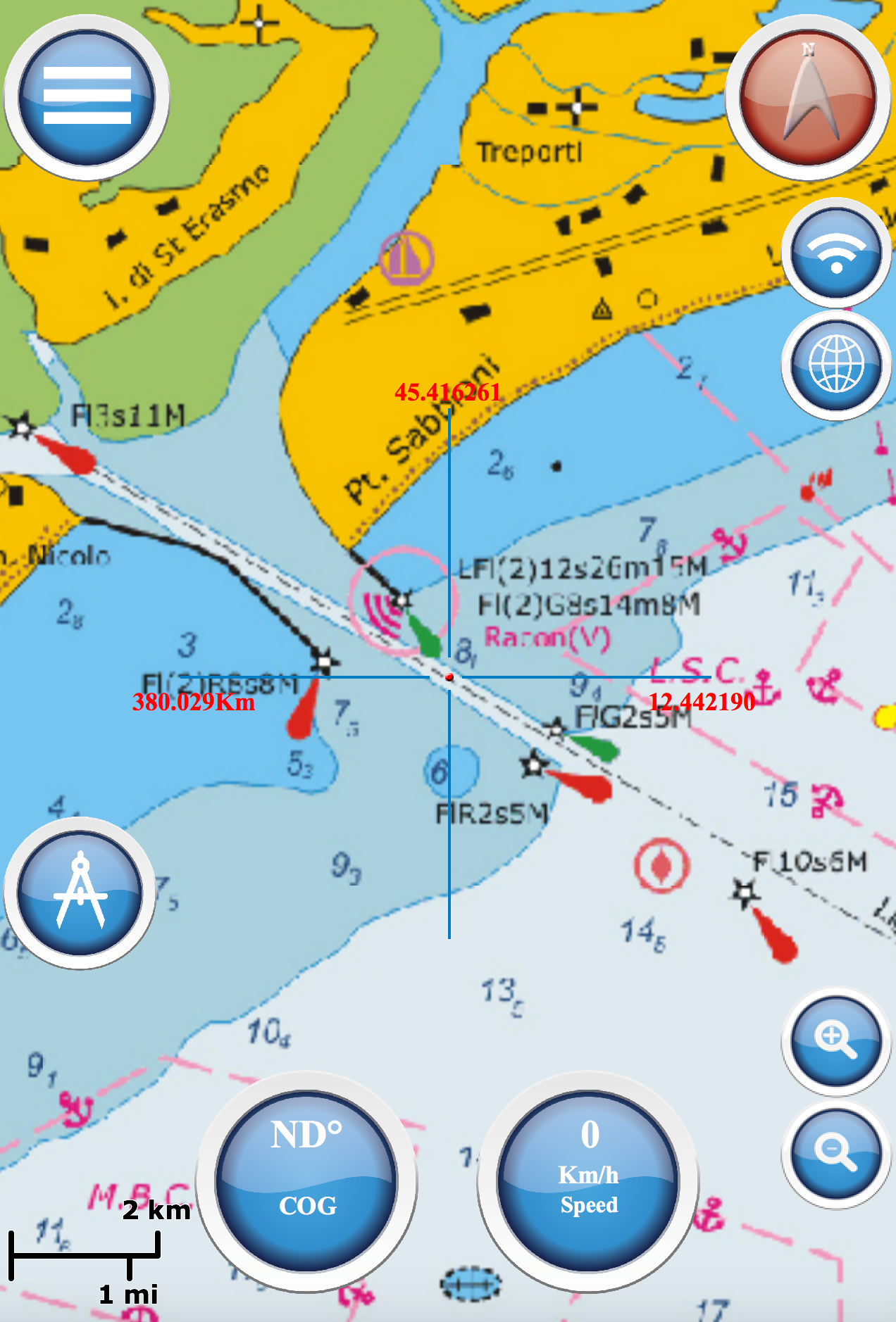
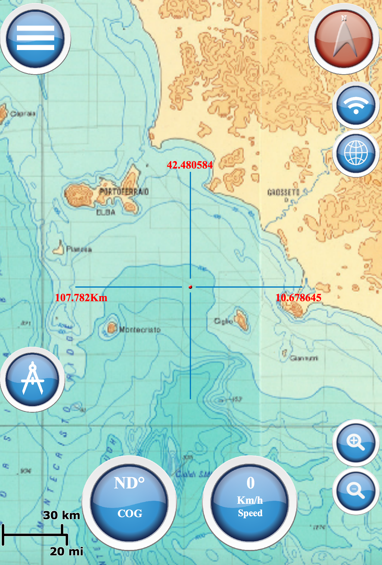
Mediterranean RNC
Mediterranean RNC (Raster Navigational Charts), max zoom on Adriatic sea
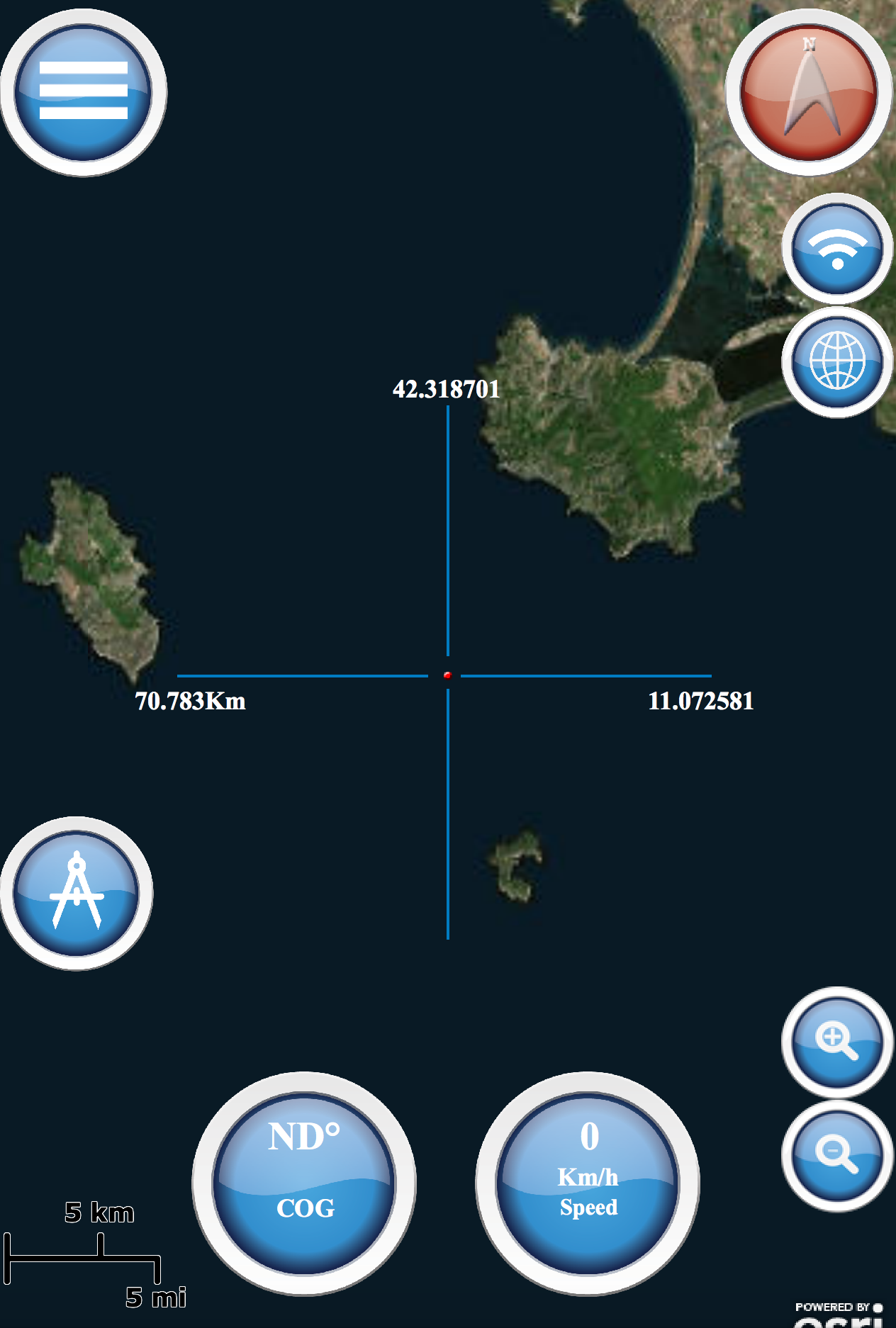
World Map
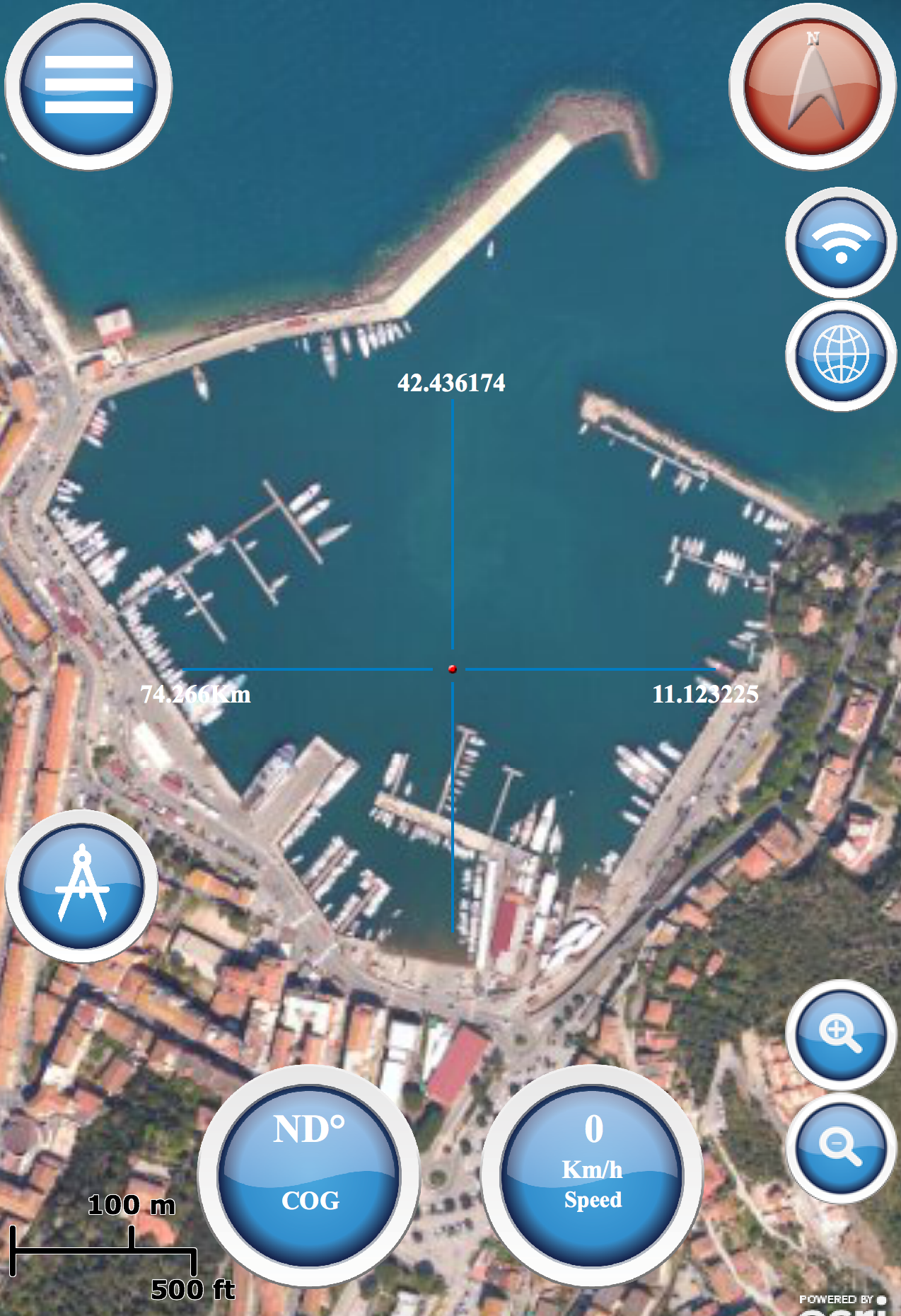
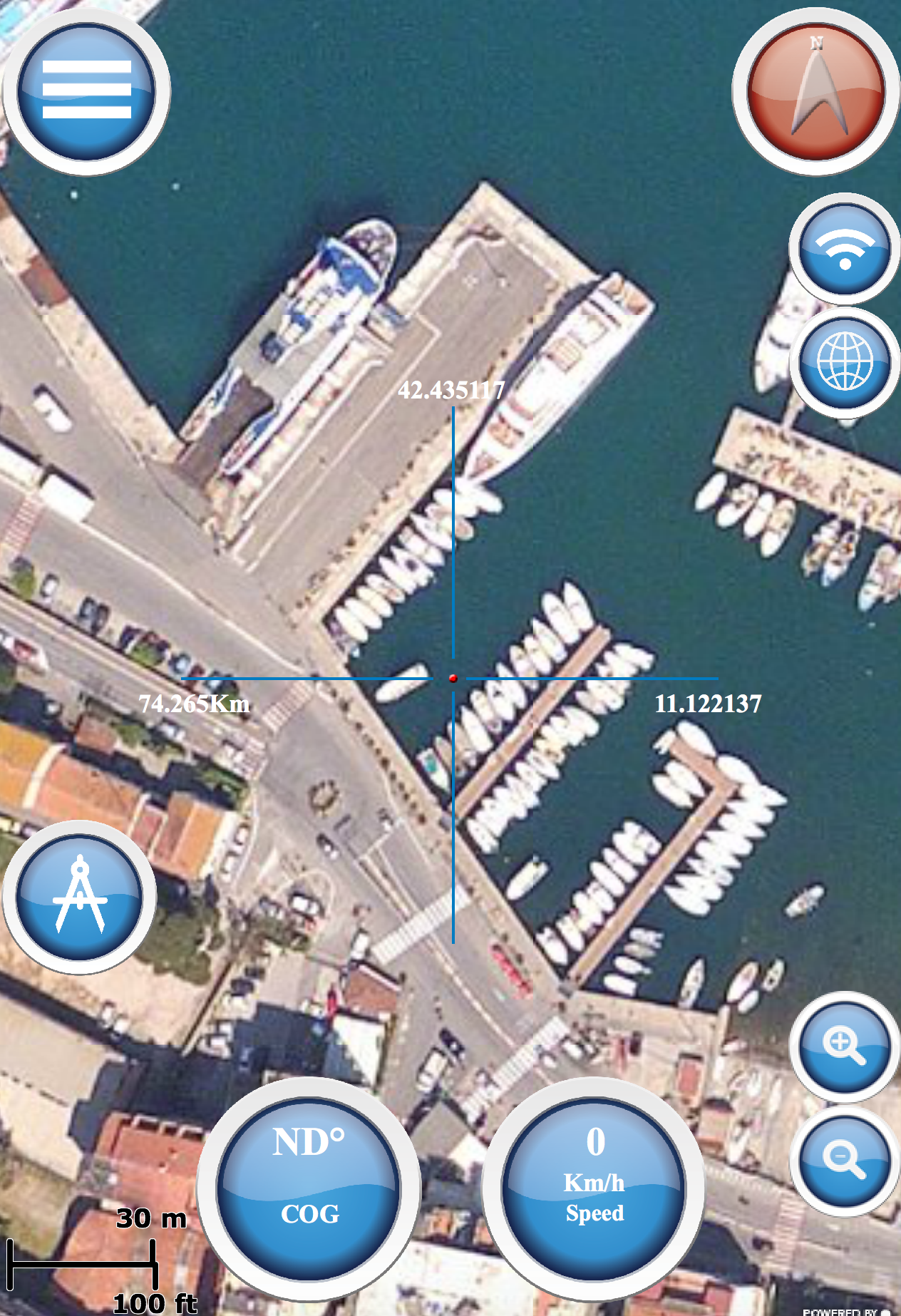
Satellite imagery for the world and high-resolution for the United States and other areas around the world.
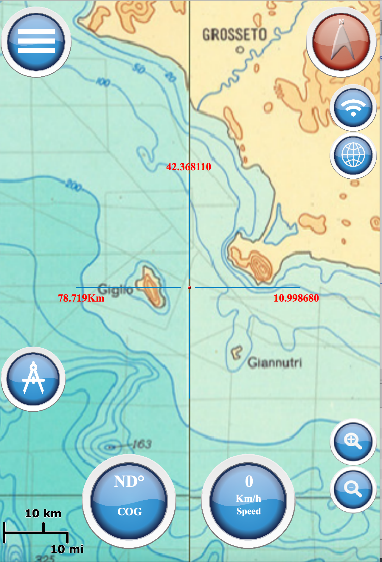
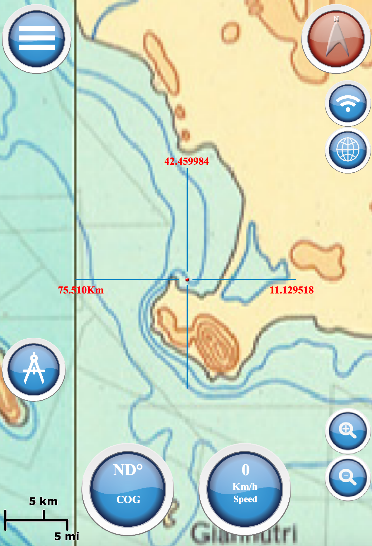
NOAA Mediterranean
National Oceanic and Atmospheric Administration (NOAA), Marine Navigation use Bathymetric
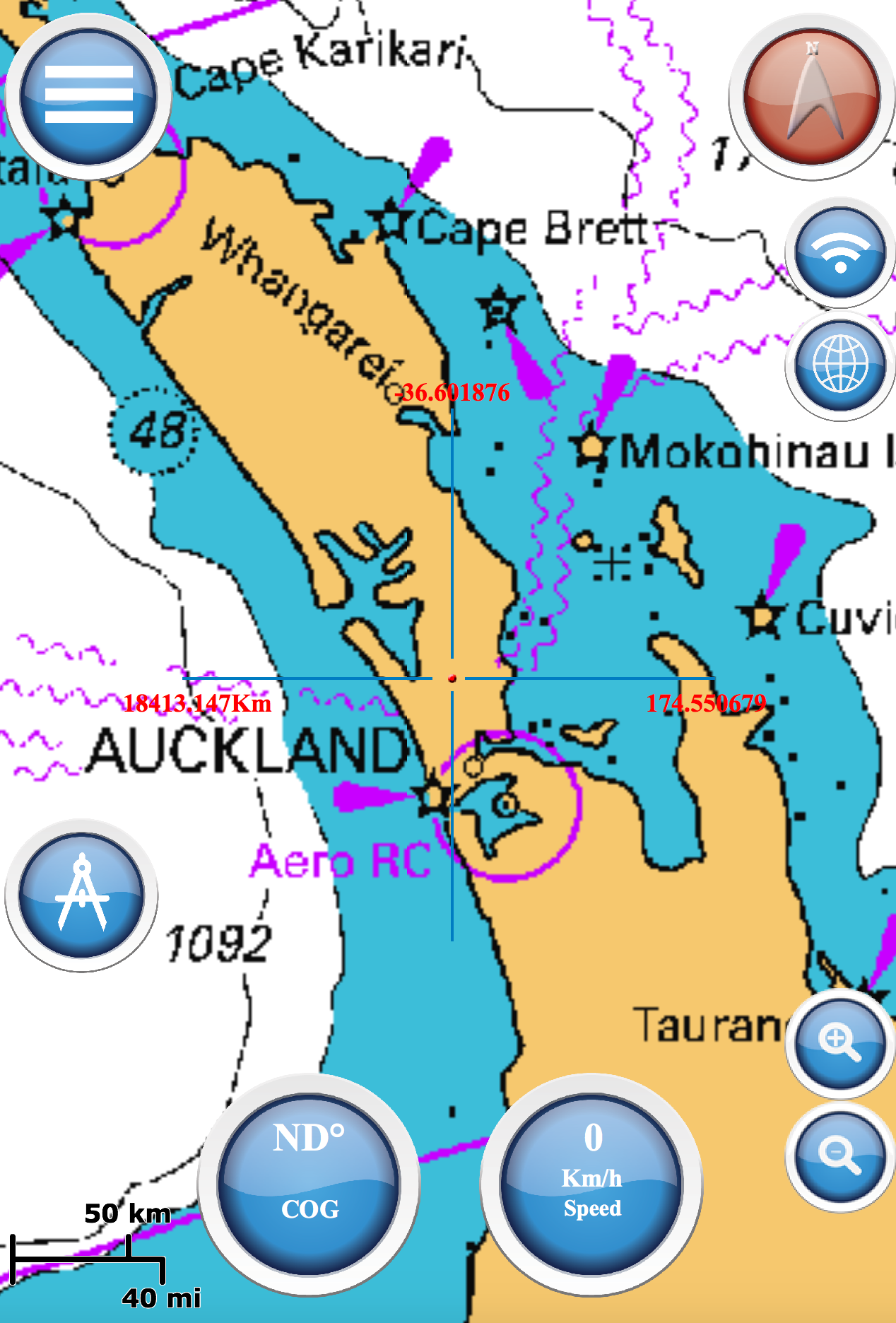
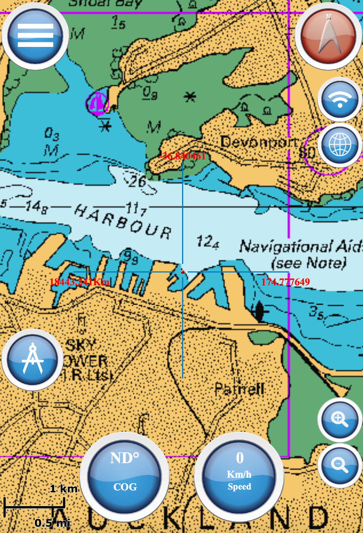
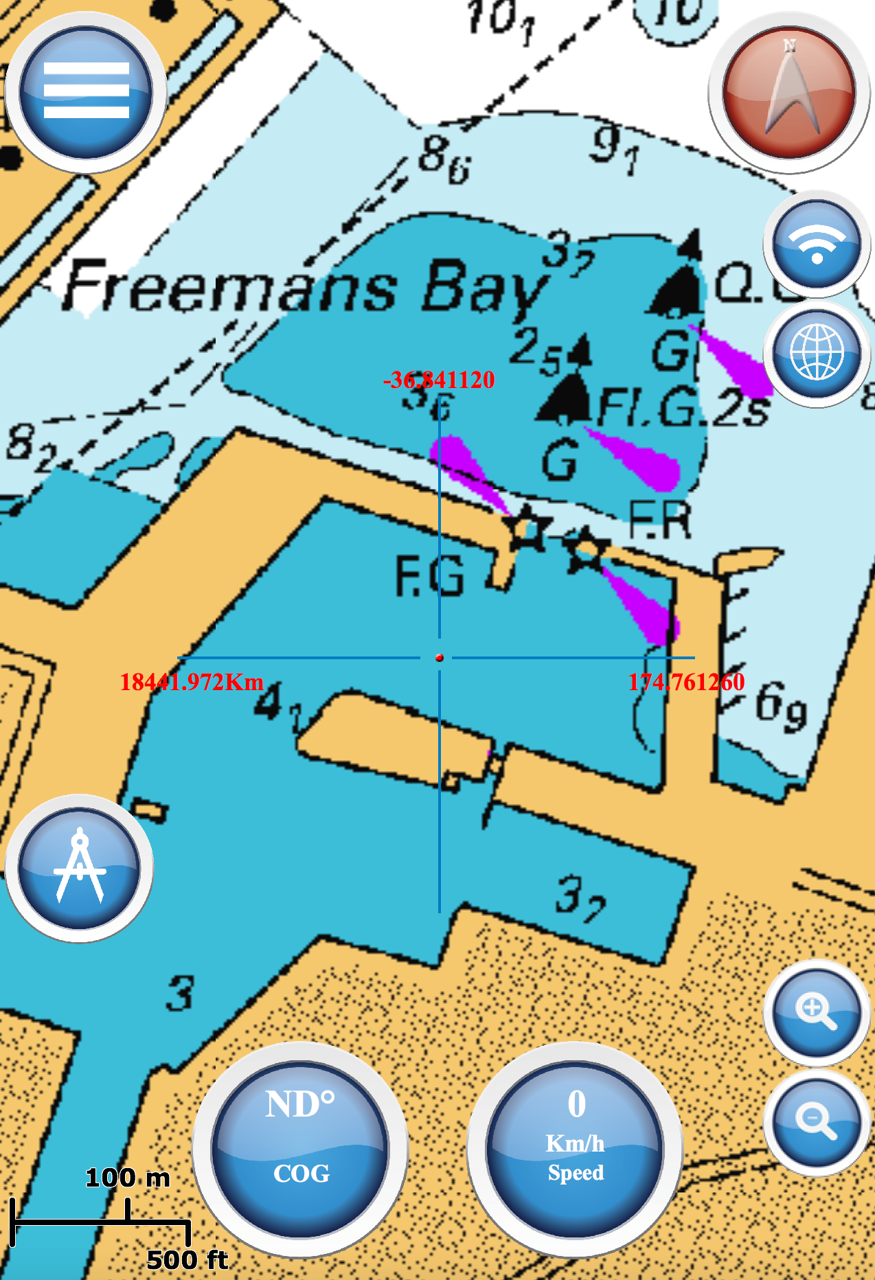
LINZ NewZealand
NZMariner is the product name of New Zealand’s Official RNC (Raster Navigational Charts)
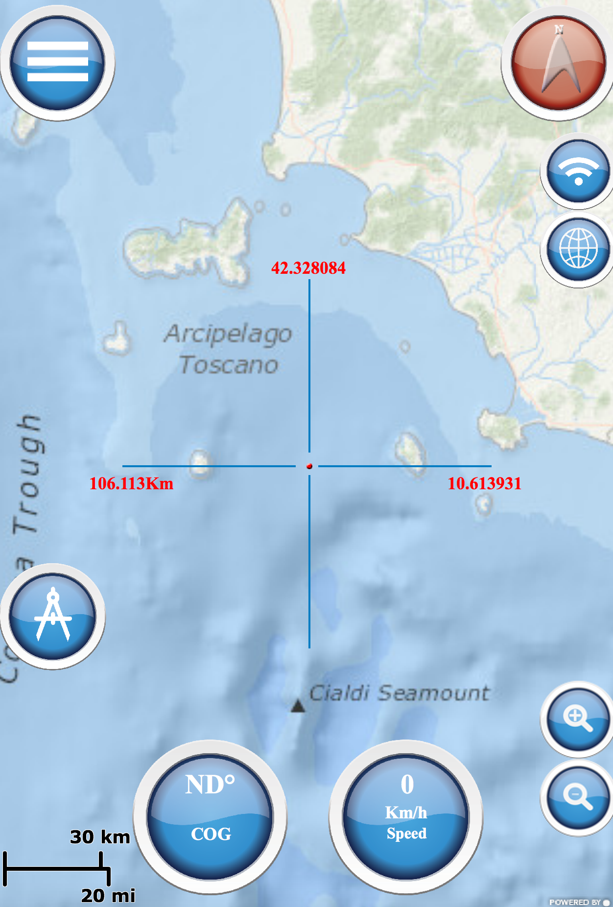
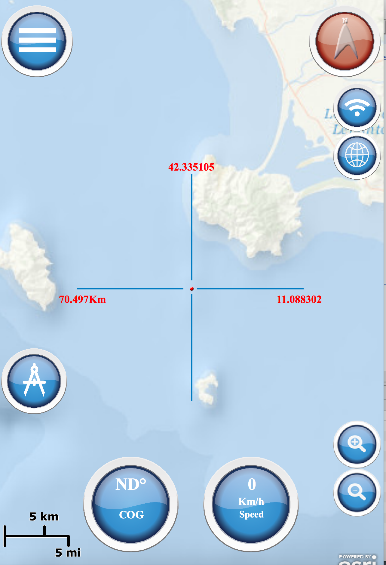
Ocean Maps
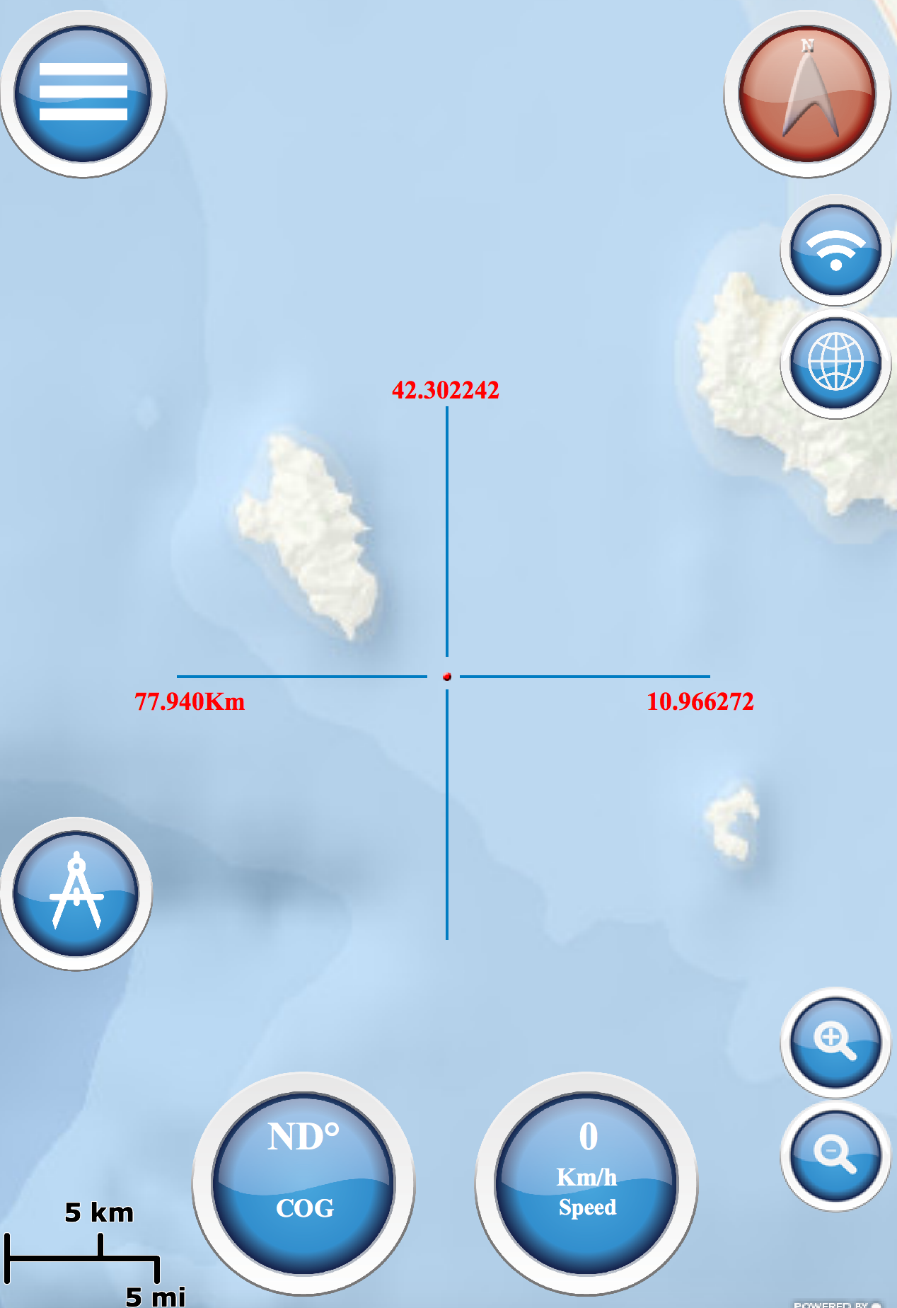
Esri created and released a new, comprehensive map of the world’s oceans and coastal areas
Topo Maps
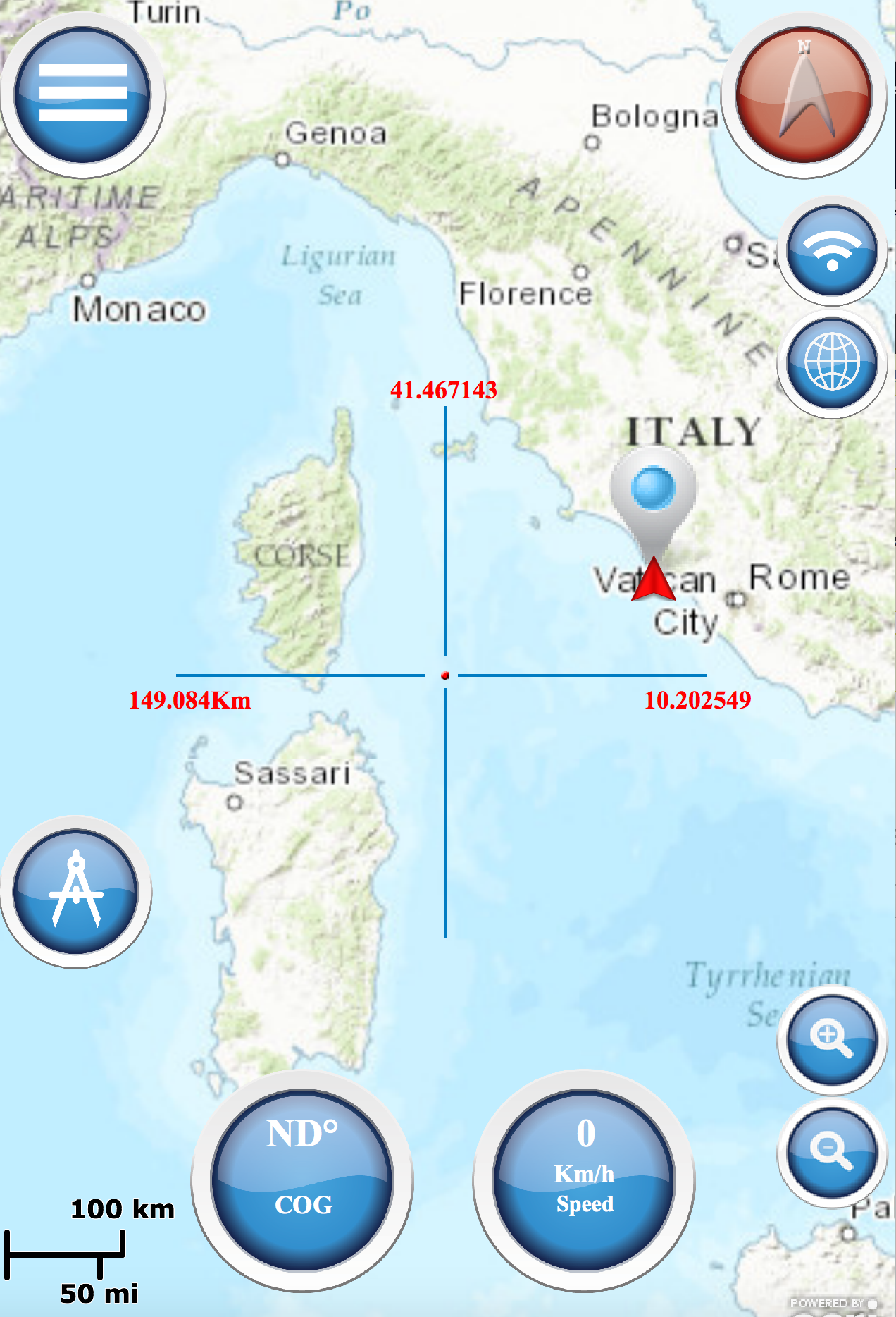
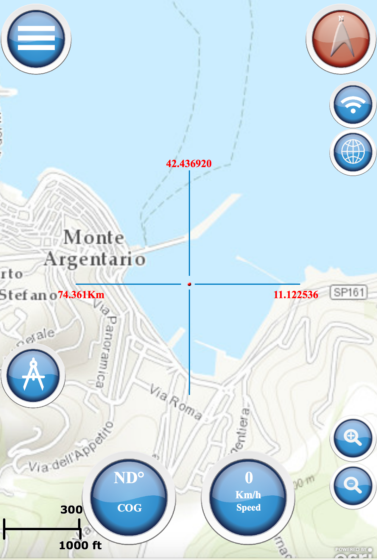
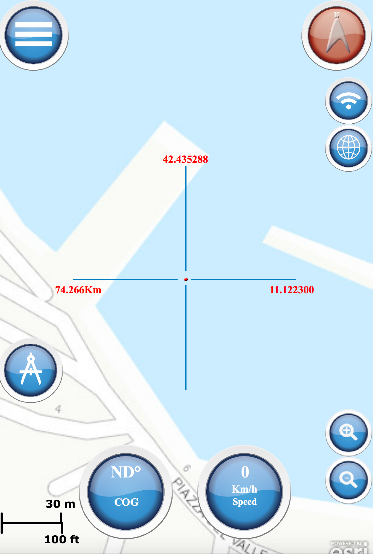
This world topographic map includes boundaries, cities, water features, ports, physiographic features, etc.
OpenSeaMap
Open Sea Map is a first opensource maps for the sea, with ports, sea light and more.
MAPS OFFLINE
You can download maps or marine chart, you need select area and application save tile in the disk. You can navigate on preloaded maps or chart without connection.
 |
 |

